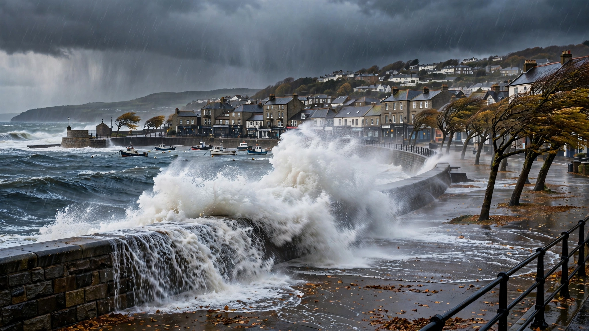
Storm season did not arrive gently this autumn. It arrived twice in four days. Storm Austen, named by the Met Office on Tuesday 20 October as the first named storm of the 2026–27 season, swept across southern England and Wales overnight on Thursday 22 October and through Friday 23 October. Days later, Storm Boelo — named on 22 October — made landfall in the north on Saturday 24 October and battered Scotland, Northern Ireland and northern England through Sunday. Two deep Atlantic lows, driven by a powerful jet stream, made it the stormiest weekend of the autumn so far.
Austen came with the full weight of the warning system behind it. On Wednesday 21 October the Met Office issued an amber wind warning for Cornwall, Devon, the Isles of Scilly and Plymouth, in force from 1am to 10am on Friday 23 October, with gusts of 60 to 70mph widely and around 80mph on exposed headlands. A yellow warning for rain covered parts of Scotland, where 20 to 40mm was expected widely and 60 to 80mm in some places. Deputy chief forecaster Chris Bulmer said there was "increasing confidence in the potential for disruptive winds across parts of southwest England, which is why an Amber warning has been issued."
A storm that deepened like a bomb
What made Austen unusual was how fast it strengthened. Crossing the Atlantic, it underwent explosive cyclogenesis — a fall in central pressure of at least 24 hectopascals in 24 hours, the process sometimes called a "weather bomb". Met Office meteorologist Alex Burkill said: "Storm Austen will rapidly deepen as it approaches the UK, undergoing a process known as explosive cyclogenesis. Its central pressure is expected to fall by at least 24 hectopascals in 24 hours." Models put its central pressure at 970 to 980 hectopascals as it crossed the UK, driven by a powerful Atlantic jet stream.
The winds arrived more or less as forecast. The Met Office's post-storm analysis records gusts of 58 to 69mph across Cornwall, parts of Devon and west Wales, with a maximum gust of 76mph on the Isles of Scilly. Tens of thousands of homes lost power across southern England and Wales, including around 13,000 in Cornwall on 23 October. In Brighton part of the West Pier collapsed into the sea, rail lines were blocked by fallen trees, flights were cancelled at Exeter and Jersey airports, and several ferries to France were cancelled.
Boelo follows, and the rain breaks records
Storm Boelo was a separate system, not a continuation of Austen, and it hit the opposite end of the country. Yellow wind warnings covered mainland Scotland, the Western Isles, Orkney and the far north of England from 6pm Saturday to 9pm Sunday, with gusts of 55 to 65mph widely and 70 to 80mph in exposed places; Northern Ireland had a separate yellow warning. They were later raised to amber across Scotland, parts of Northern Ireland and the far north of England, from 9pm on Saturday. Chris Bulmer said Boelo would bring "strong winds and heavy rain to Northern Ireland, Scotland and parts of northern England over the weekend, impacting the opposite end of the country to Storm Austen."
If Austen was a wind storm, Boelo was a rain storm as well. Saturday 24 October became provisionally the joint sixth wettest day on record for the UK since 1891, with an average of 25.9mm across the country. More than 50mm fell across many western areas of Scotland, and in Inverness-shire over a quarter of the county's average October rainfall fell in one day. Dalwhinnie and Tulloch Bridge set wettest October day records, and Liscombe in Somerset recorded 66.2mm, a new October daily record beating the one set in 2000. Gusts topped 115mph on Scotland's mountain summits and reached 84mph in Argyll and Bute.
The human cost was the worst part of the weekend. Two men lost their lives after being struck by falling trees on Sunday: a 60-year-old man near Castle Douglas in Dumfries and Galloway, and a man in his 20s in north London whose car was hit by a falling tree. Flash flooding hit Scotland and Wales: shops flooded in Largs, Ayrshire, and the River Ely burst its banks in Cardiff, leaving roads and paths impassable. Rail, airports and the London Underground were all affected. The Energy Networks Association said power cuts hit 838,700 properties across Britain during the two storms; by 7pm on Sunday, 90,600 were still without power.
How the warning system works
Storms earn their names under a system run by the Met Office with Met Éireann in Ireland and KNMI in the Netherlands. A storm is named when it is expected to have a medium or high impact. This season's list was announced on 1 September 2026 and runs from Austen to Wende, with 21 names in all. Austen was put forward by Met Éireann in honour of Austen Nagle, the first director of the Irish Meteorological Service. Boelo, pronounced "Boo-loh", came from the Dutch service KNMI. The next storm of the season will be called Chloe. The scheme is now in its twelfth year, running since 2015.
Weather warnings come in three colours. Yellow means severe weather is possible and some disruption likely — travel delays, localised flooding, perhaps power cuts. Amber raises the stakes: flooding of homes and businesses, widespread travel disruption and damage to buildings and power supplies become more likely. Red is rare: dangerous weather is expected, with a risk to life — avoid travel, stay indoors, follow emergency services' instructions. Impacts can be intensely local — check your own postcode, not just the headline colour.
Where the flood risk falls
Coastal communities face tidal surges and overtopped defences when storms coincide with high tides. River valleys that have flooded repeatedly — the Severn, the Wye, the Calder and others — stay vulnerable when rain falls faster than saturated ground can absorb it, and sudden urban downpours can overwhelm drains in minutes. After a wet spell the risk compounds: saturated ground and high rivers mean even moderate rainfall can tip a catchment into flooding — the position much of the country was left in after Boelo.
Before the next storm: the hour that costs nothing
Most storm preparation takes an hour, costs nothing, and is best done on a calm day — yet Met Office research published as Austen approached found only one in eight people say they are fully prepared for severe winter weather. Secure garden items that could move, and clear gutters. Charge phones, keep a torch handy in the dark, and save the power cut number, 105, in your phone. If you live somewhere that floods, move valuables upstairs and know where your stopcock is. Check on elderly neighbours living alone. Never drive through flood water, and when the wind drops, photograph damage before clearing up.
Austen and Boelo arrived four days apart, and the unsettled Atlantic pattern behind them has not gone away. More systems are expected in the weeks ahead; the next to reach naming strength will be called Chloe. Treat every warning as local, not regional: check the detail for your own postcode.